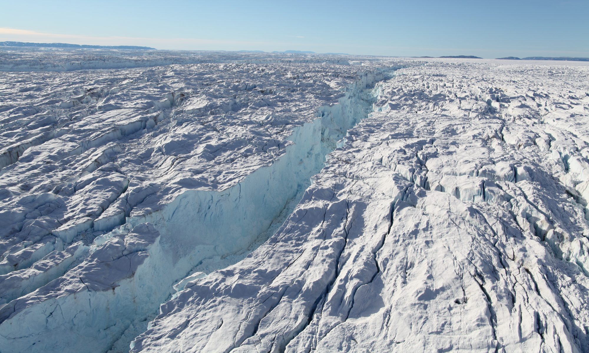
This data set is part of the NASA Making Earth System Data Records for Use in Research Environments (MEaSUREs) program, and provides maps of Antarctic ice shelves, the Antarctic coastline and Antarctic basins. The maps are assembled from 2008-2009 ice-front data from the Japan Aerospace Exploration Agency’s (JAXA) ALOS PALSAR and European Space Agency’s ENVISAT ASAR data acquired during International Polar Year, 2007-2009 (IPY), the InSAR-based grounding line data (MEaSUREs Antarctic Grounding Line from Differential Satellite Radar Interferometry), augmented with other grounding line sources, the Antarctic ice velocity map (MEaSUREs InSAR-Based Antarctica Ice Velocity Map), and the Bedmap-2 DEM.
To download this data set go to: https://nsidc.org/data/NSIDC-0709/
Literature Citation:
Rignot, E., S. S. Jacobs, J. Mouginot, and B. Scheuchl. 2013. Ice-shelf melting around Antarctica, Science. 341. 266-270. http://dx.doi.org/10.1126/science.1235798
Data Citation:
Mouginot, J., B. Scheuchl, and E. Rignot. 2017. MEaSUREs Antarctic Boundaries for IPY 2007-2009 from Satellite Radar, Version 2. [Indicate subset used]. Boulder, Colorado USA. NASA National Snow and Ice Data Center Distributed Active Archive Center. doi: http://dx.doi.org/10.5067/AXE4121732AD.
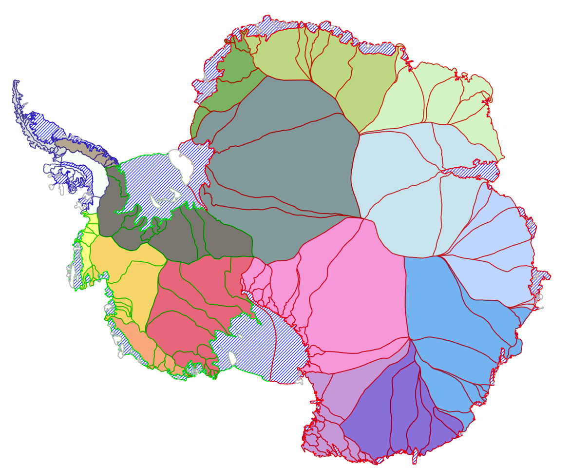
Antarctic Boundaries V2.shp overview. The shapefile includes the coastline, the grounding line, an ice shelf mask (striped), as well as IMBIE and refined basins. Also provided is a regional separation in East Antarctica (red lines), West Antarctica (green lines), and the Antarctic Peninsula (dark blue lines).