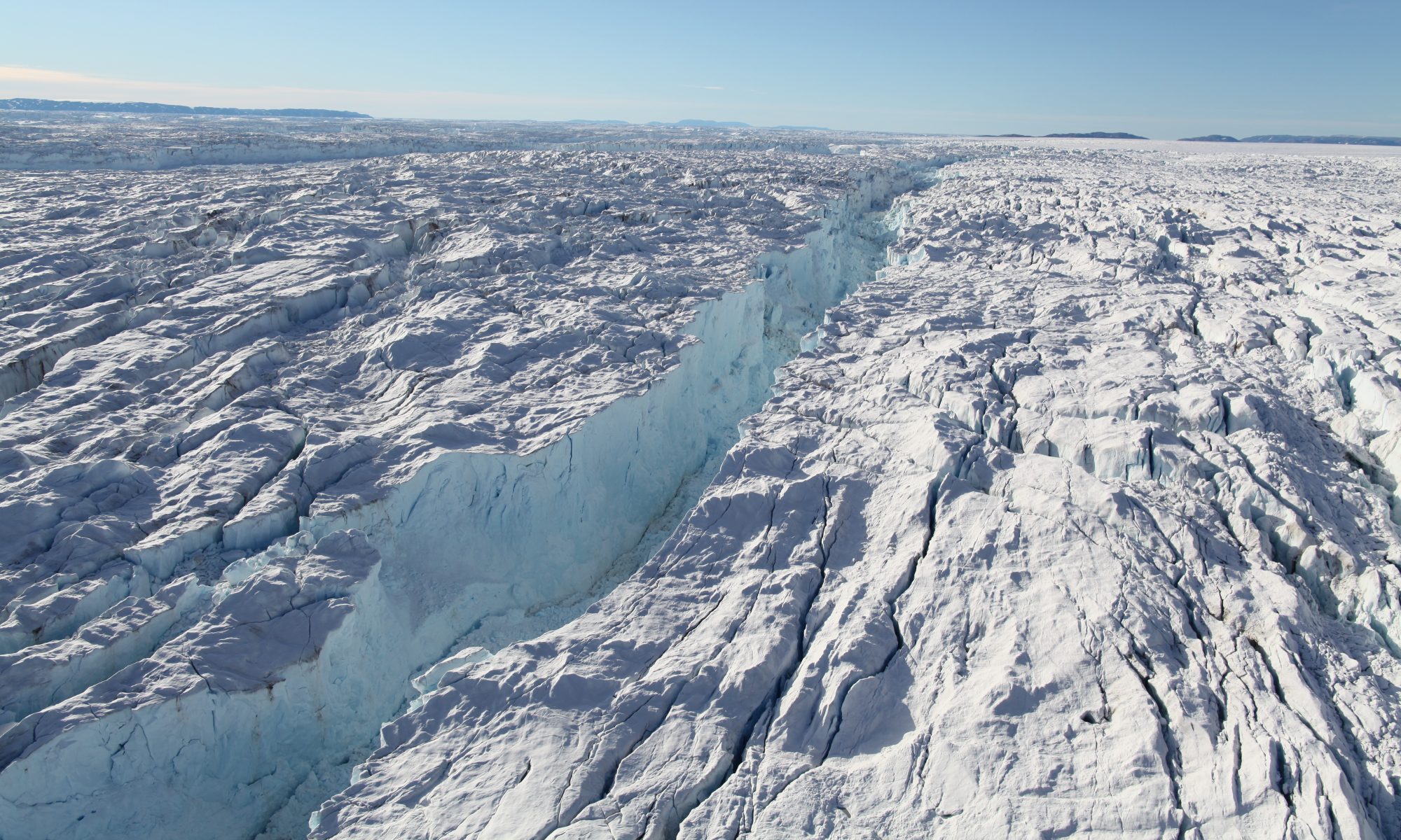
The evolution of Greenland glaciers in a warming climate depends on their depth below sea level, flow speed, surface melt, and ocean-induced undercutting at the calving front. We present an innovative mapping of bed topography in the frontal regions of Sermeq Avannarleq and Kujalleq, two major glaciers flowing into the ice-choked Torssukatak Fjord, central west Greenland. The mapping combines a mass conservation algorithm inland, multi-beam echo sounding data in the fjord, and high-resolution airborne gravity data at the ice-ocean transition where other approaches fail. We obtain a reliable, precision (± 40 m) solution for bed topography across the ice-ocean boundary. The results reveal a 700-m deep fjord that abruptly ends on a 100-300 m deep sill along the calving fronts. The shallow sills explain the presence of stranded icebergs, the resilience of the glaciers to ocean-induced undercutting, and their remarkable stability over the past century.
Data available here.
An. L., E. Rignot, J. Mouginot, R. Milan, (2018), A century of stability of Avannarleq and Kujalleq glaciers, West Greenland, explained using high-resolution airborne gravity and other data, Geophys. Res. Lett., 10.1002/2018GL077204.