— NEWS —
December 2011
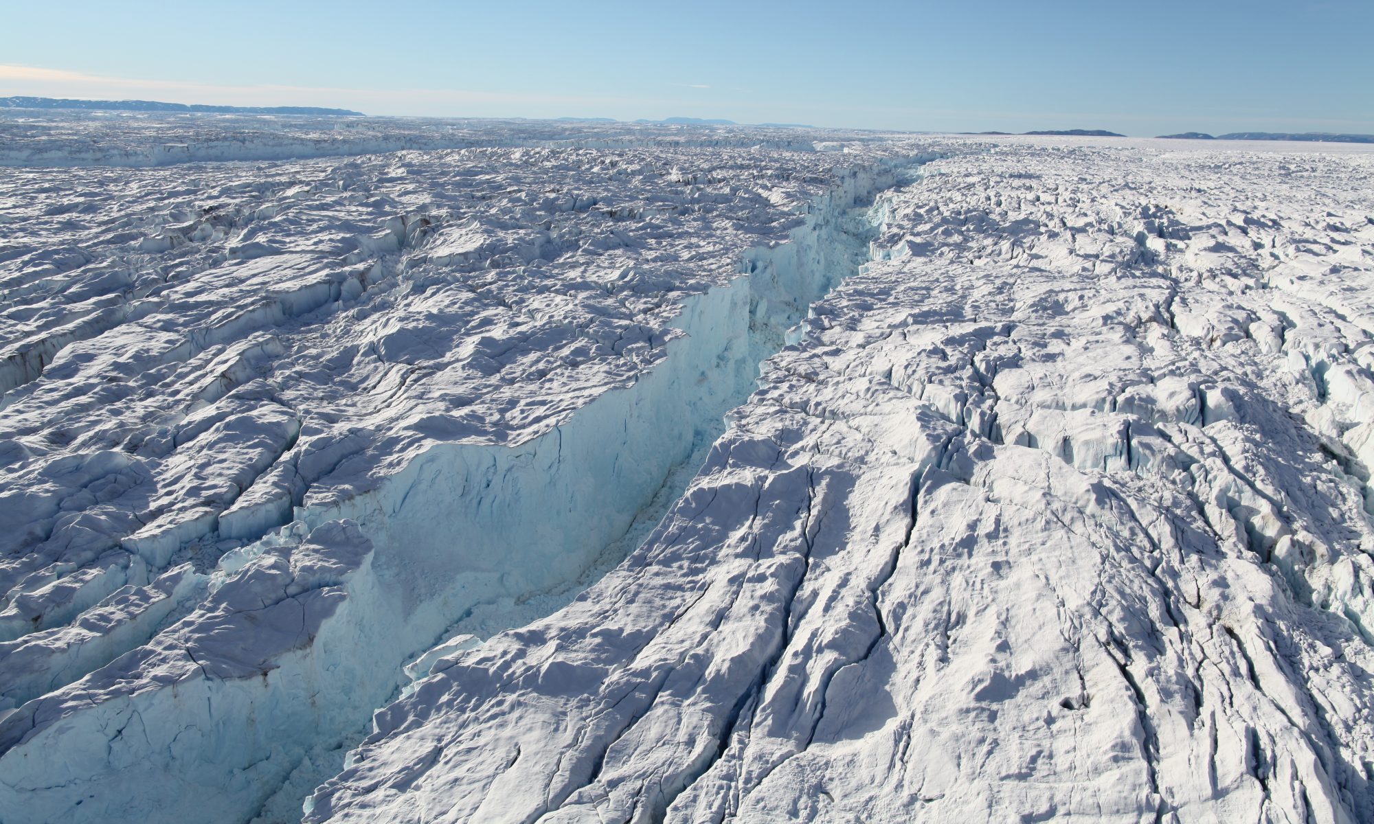
Our ice velocity map of Antarctica from satellite radar interferometry as well as our Antarctic grounding line from differential satellite radar interferometry are now available via NSIDC! See our data section for details.
August 2011
Rignot, E., J. Mouginot, and B. Scheuchl (2011), Ice Flow of the Antarctic Ice Sheet, Science, doi 10.1126/science.1208336.
Abstract
We present a reference, comprehensive, high-resolution, digital mosaic of ice motion in Antarctica assembled from multiple satellite interferometric synthetic-aperture radar data acquired during the International Polar Year 2007-2009. The data reveal widespread, patterned, enhanced flow with tributary glaciers reaching hundreds to thousands of kilometers inland, over the entire continent. This view of ice sheet motion emphasizes the importance of basal-slip dominated tributary flow over deformation dominated ice sheet flow, redefines our understanding of ice sheet dynamics, and has far- reaching implications for the reconstruction and prediction of ice sheet evolution.

Caption: Antarctic ice velocity derived from ALOS PALSAR, Envisat ASAR, RADARSAT- 2 and ERS-1/2 satellite radar interferometry color coded on a logarithmic scale and over- laid on a MODIS mosaic of Antarctica. Projection is polar stereographic at 71°S secant plane. Thick black lines delineate major ice divides. Thin black lines outline subglacial lakes. Thick black lines along the coast are interferometrically-derived ice sheet grounding lines.
“This is like seeing a map of all the oceans’ currents for the first time. It’s a game changer for glaciology. We’re seeing amazing flows from the heart of the continent that had never been described before.” Eric Rignot, UCI
“These researchers created something deceptively simple: a map of the speed and direction of ice in Antarctica. But they used it to figure out something fundamentally new: that ice moves by slipping at its bed, not just at the coast but all the way to the deep interior of Antarctica.” Thomas Wagner, NASA
“Large scale mosaicking of moving ice with different satellites must have been very time consuming and frustrating work. We want to express our sincere respects to the JPL/UCI team. The continental velocity map greatly enhances people’s knowledge on how the ice is moving on the unknown continent. It will also increase expectations for a follow-up map in several years.” Masanobu Shimada, Japan Aerospace Exploration Agency
“…one of the cardinal goals of International Polar Year’s Space Task Group (IPY-STG) was to “achieve the first pole to coast velocity map of Antarctica. Spaceborne SAR imaging is recognized as the only way to achieve this goal … . I am really satisfied to see the fruits of your labour, and to see the achievement of this significant “first” for the benefit of Antarctic glaciology and cryospheric scientific discovery. Undoubtedly, one of the other immediate beneficiaries of your results will be the IPCC AR5 report.” Mark Drinkwater, ESA and Chair of IPY-STG
“To our knowledge, this is the first time that a tightly knit collaboration of civilian space agencies has worked together to create such a huge dataset of this type. It is a dataset of lasting scientific value in assessing the extent and rate of change in polar regions.” Yves Crevier, Canadian Space Agency
Project Summary
Ice velocity is a fundamental characteristic of the dynamics of ice sheets. It is essential information for measuring the mass budget of ice sheets and for controlling ice sheet numerical models with realistic boundary conditions. Until recently, data were mostly available on a discrete basis over small areas with variable precision.
The goal of our project is to produce a new set of Earth Science Data Record (ESDR): high-resolution digital maps of ice velocity of the Antarctic ice sheet. This new ESDR is based on spaceborne Synthetic Aperture Radar (SAR) data from multiple missions. It will be distributed to the scientific community via institutional links already in place at the National Snow and Ice Data Center (NSIDC).
The EDSR will benefit glaciologists and ice sheet modelers, but also climate modelers interested in how ice sheets are evolving, physical oceanographers studying sea level change and changes in oceanic circulation, solid earth scientists interested in post-glacial rebound, atmospheric scientists interested in surface mass balance in Antarctica. This effort will establish a long-term legacy for quantitative measurements of the dynamics of polar ice sheets.
This work is conducted at the Department of Earth System Science, University of California Irvine under a contract with the National Aeronautics and Space Administration’s MEaSUREs program.
Spaceborne SAR data acquisitions between 2007 and 2010 are courtesy of the International Polar Year (IPY) Space Task Group (STG):
- ALOS PALSAR: Japan Aerospace Exploration Agency (JAXA)
- ERS-1, ERS-2, and ENVISAT ASAR: European Space Agency (ESA)
- RADARSAT and RADARSAT-2: Canadian Space Agency (CSA)
RADARSAT-1 and ALOS PALSAR data are provided through ASF
RADARSAT-2 data are processed (focused) and provided by MDA