Our research group employs remote sensing data from various platforms (satellites, fixed-wing aircraft, helicopters, vessels) to generate Level 3 and 4 geophysical products of interest to understand the physical processes governing the evolution of glaciers and ice sheets and to help constrain ocean-ice-sheet coupled numerical models of evolution of glaciers and ice sheets.
In this page, you will find links to our MEaSUREs-1-2-3-4 ice motion and grounding line products for Antarctica, i.e. a continent-wide reference ice motion map, annual ice-sheet wide time velocity from 2006 to 2017, finer time series over select glacier sectors (Amundsen Sea Sector, Siple Coast, Totten), along ice shelf boundaries, and drainage basins, interferometrically-derived and time tagged grounding lines, and BedMachine Antarctica (Morlighem et al., 2019).
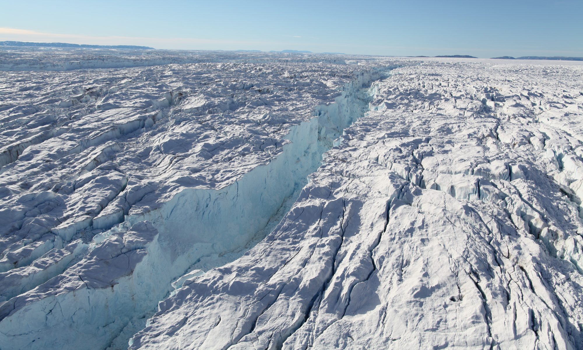
We also provide an ice sheet wide ice motion product for Greenland and drainage basins.
You will find bed elevation products for Jakobshavn Glacier as part of BedMachine Greenland Version 3.0 (Morlighem et al., 2018). Other glaciers surveyed in 2012 for the Gordon and Betty Moore Foundation in Patagonia have products available upon requests but the gravity data are readily available at NSIDC.
Data products collected for the NASA Earth Venture Suborbital Mission “Ocean Melting Greenland” (OMG), E. Rignot Deputy PI, are available on the OMG web site: omg.jpl.nasa.gov.
A few examples below (sorry but the list is not complete and up to date):
MEaSUREs Products (Antarctica):
- MEaSUREs Phase-Based (BEST MAP) Reference Antarctica Ice Velocity Map (NSIDC-0754) (Mouginot et al., Geophys. Res. Lett., 2019)
- BedMachine Antarctica version 3, a map of ice thickness and bed topography of Antarctica (NSIDC-0756) (Morlighem et al. Nature Geosc., 2019)
- MEaSUREs annual ice velocity maps Antarctica (NSIDC-0720) (Rignot et al., PNAS, 2019)
- MEaSUREs Grounding Zone of Antarctica year 2018 (NSIDC-0778) (Rignot et al., PNAS, in review)
- MEaSUREs Antarctica ice boundaries for IPY 2007-2009 (NSIDC-0709) (Mouginot et al., Rem. Sens., 2012)
- MEaSUREs multi-year reference ice velocity maps (NSIDC-0761) (Rignot et al., Geophys. Res. Lett., 2022)
- MEaSUREs MODIS Mosaic of Antarctica 2013-2014 (NSIDC-0730)
Non-MEaSUREs Products: