We employ airborne gravity data from NASA’s Operation IceBridge collected in 2009–2014 to infer the bathymetry of sub–ice shelf cavities in front of Pine Island, Thwaites, Smith, and Kohler glaciers, West Antarctica. We use a three‐dimensional inversion constrained by multibeam echo sounding data offshore and bed topography from a mass conservation reconstruction on land. The seamless bed elevation data refine details of the Pine Island sub–ice shelf cavity, a slightly thinner cavity beneath Thwaites, and previously unknown deep (>1200 m) channels beneath the Crosson and Dotson ice shelves that shallow (500 m and 750 m, respectively) near the ice shelf fronts. These sub–ice shelf channels define the natural pathways for warm, circumpolar deep water to reach the glacier grounding lines, melt the ice shelves from below, and constrain the pattern of past and future glacial retreat.
Data available here.

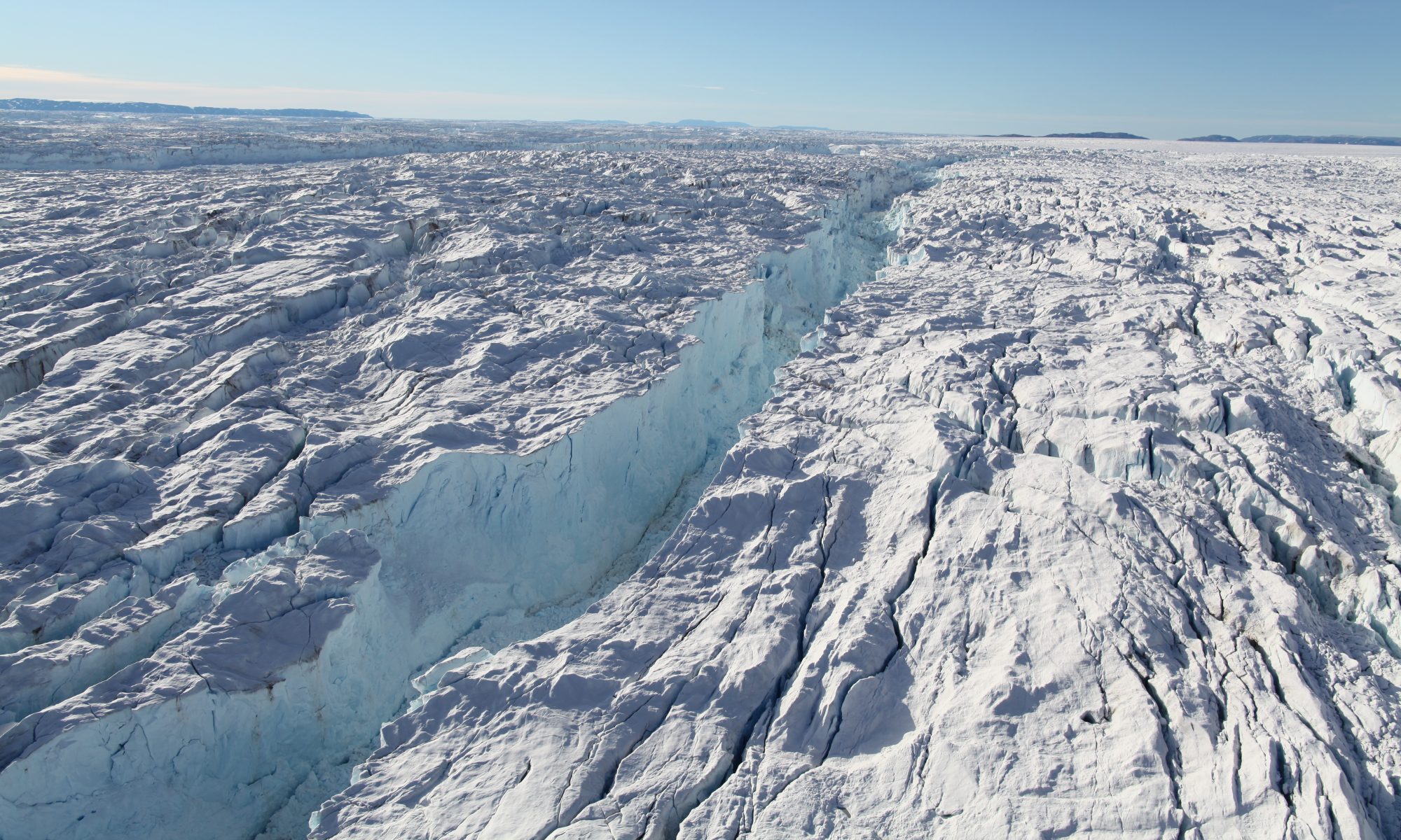
New bathymetry of the Amundsen Sea Embayment (ASE) of West Antarctica with the Pine Island, Thwaites/Haynes, and Smith/Kohler glaciers. Grounding line positions are red (year 1996), ice front positions are yellow (year 2008), AUC tracks are green, and seismic data are black crosses. Bed elevation is color coded from brown/yellow and green (above sea level) to light blue and dark blue (-1400 m), with light contours every 100 m and thick contours every 400 m.
Millan, R., E. Rignot, V. Bernier, M. Morlighem, and P. Dutrieux (2017), Bathymetry of the Amundsen Sea Embayment sector of West Antarctica from Operation IceBridge gravity and other data, Geophys. Res. Lett., 44, 1360–1368, doi:10.1002/2016GL072071.